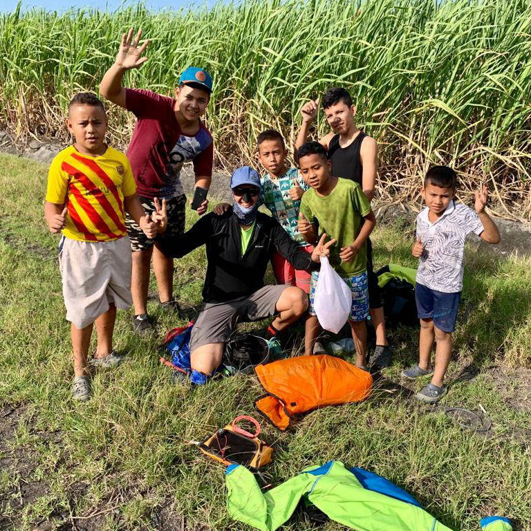
Flying Sites
Roldanillo
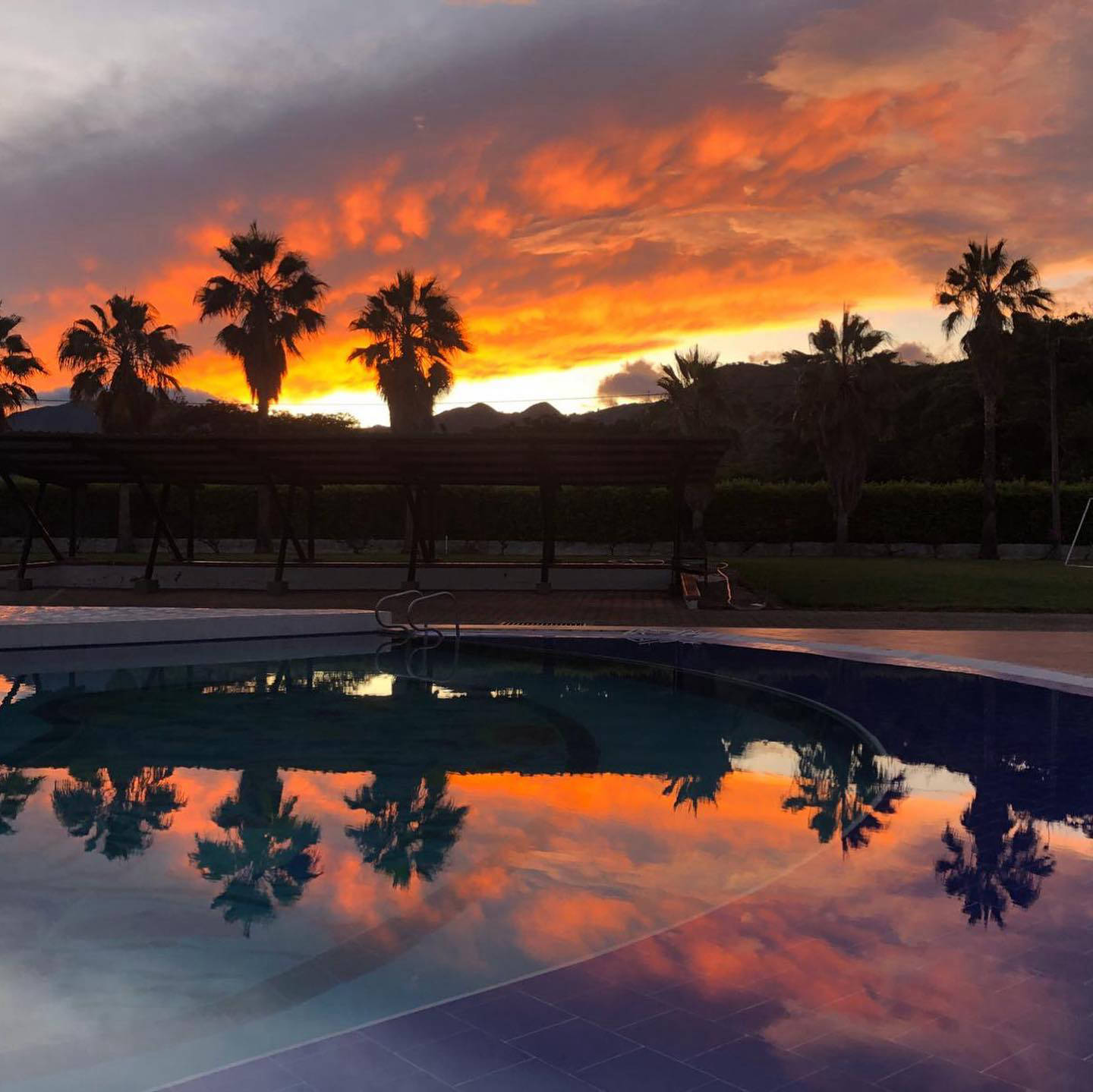
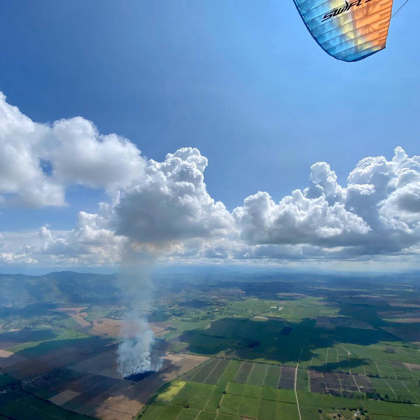
Roldanillo is Colombia’s XC paragliding hotspot, offering consistent thermals, high cloud bases, and endless flatland transitions. With its smooth takeoff, reliable lift, and easy landings, it’s perfect for both experienced pilots and those looking to build XC confidence. The valley’s ideal weather and breathtaking landscapes make it a world-class flying destination.
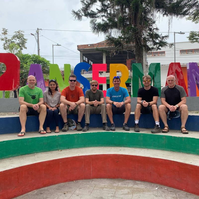
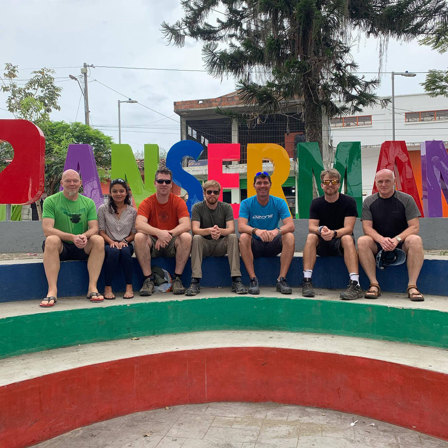
Ansermanuevo
Ansermanuevo is a lovely site with a manicured boutique launch, consistent thermals and incredible XC potential. Unlike busier Roldanillo, it offers a quieter, less crowded flying experience, making it perfect for focused XC progression. The site extends the southern XC route by an additional 40 km, while also opening up the possibility of a stunning northern flight into the Viterbo Valley. Ansermanuevo is also less affected by the Pacifico winds, allowing for more flexible flight planning and even the chance to restart flights if needed. It’s an excellent choice for pilots looking to push their limits.
Piedechinche
Piedechinche has multiple westerly-facing takeoffs, known for its later starts and smooth, predictable conditions. Unlike other sites in the region, it is not typically affected by the Pacifico wind, allowing for consistent afternoon flying. Mornings start with gentle thermals, making it an ideal site for warm-up flights and XC training, while the stronger afternoon cycles provide great opportunities for longer flights into the valley. With an easy launch, reliable lift, and scenic routes, Piedechinche is a fantastic choice for pilots looking to build confidence and refine their XC skills.